
How Can I Tell Whether a Neighborhood Is Safe Before I Move There?
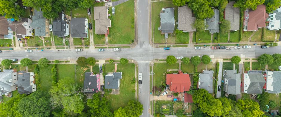
Check the address through the local police source and the FBI Crime Data Explorer, then read incidents by type, place, date, and reporting coverage. Pair that record with visits at different times and factual questions about the property. A single crime score hides too much: reported incidents are not all victimization, and agency coverage varies.
How can I tell whether a neighborhood is safe before I move there?
Build an address file, not a neighborhood verdict. Start with the police agency that serves the listing, its public incident map or public-safety material, and the FBI Crime Data Explorer. The Explorer lets users explore and download crime data by location and dataset, yet its coverage depends on agency participation.
Coverage comes first. The FBI defines a participating agency as one that has released at least one month of data in the current year. The Explorer itself says its map reflects NIBRS participation at the time of the last update. Before comparing two addresses, write down the reporting agency, the dates shown, and any missing periods. A blank map can mean no reported incidents in the displayed data. It can also mean incomplete reporting.
Then sort incidents into a pattern. The FBI's National Incident-Based Reporting System records incident-level fields such as date, time, location, attempted or completed status, weapon use, and property details. That detail turns a count into a useful question: are incidents close to the building, along a daily route, clustered at one venue, or spread through the area?
| Check | What to record | What it prevents |
|---|---|---|
| Reporting coverage | Agency and months represented | Treating missing data as no crime |
| Incident type | Violent, property, or another reported offense | Collapsing unlike events into one score |
| Place and route | Distance from the home, parking, transit, and usual walk | Using a citywide label for an address decision |
| Recency and repeat pattern | Dates and repeated locations or times | Giving old events the same weight as current patterns |
| Property conditions | Entry controls, sightlines, lighting, and access route | Confusing an area record with a building record |
Visit the route in daylight, evening, and at a normal weekend hour when feasible. Look at whether the walk from transit or parking is clear, whether entrances can be seen, and whether lighting works where the route narrows. The U.S. Department of Justice review of street-lighting research found a 21% decrease in crime compared with comparable control areas after improved lighting, with a larger effect on property crime than violent crime. Lighting is a condition to inspect, not a safety score.
Housing costs also shape the decision. If a move creates an immediate rent or utility gap, this guide to help paying rent or utilities before payday covers available sources of short-term help. An address is not separate from the budget that keeps it.
Which crime map should I trust for a specific address?
Trust the map that names its source, dates, geography, and reporting limits; use the FBI Explorer to check coverage and the local reporting agency for the closest available incident record. No single map gives a complete account of safety.
Police maps count incidents reported to police. The Bureau of Justice Statistics' 2024 Criminal Victimization report separates reported and unreported nonfatal victimization. In 2024, the violent-victimization rate was 23.3 per 1,000 people age 12 or older, while the rate reported to police was 11.2 per 1,000, according to BJS. The gap is the point: an incident map describes reported incidents, not every victimization.
Use maps as records, not prophecies. An address-level review asks what was reported nearby, when it was reported, and whether the source captured the relevant period. It does not claim to forecast an individual outcome.
Keep a simple comparison sheet for each candidate address. Use the same date range, the same incident categories, and the same route boundaries. A comparison is fair when its inputs match. A rating is tidy when its inputs disappear.
Should I compare crime types or just the overall crime rate?
Compare crime types, locations, and timing; an overall rate is only a starting point. Different events create different questions about a home, a route, and a routine.
NIBRS was built for this deeper read. The FBI states that it captures separate offenses within the same incident and collects information for 71 offenses, plus 10 additional offenses for which only arrests are reported. The older Summary Reporting System used a far narrower aggregate tally. A total can therefore obscure whether a pattern concerns property loss, an event at a commercial site, or a reported incident near a residential entrance.
Read the data in layers. First, separate reported violent incidents from reported property incidents. Next, mark where they occur. Then compare daytime, evening, and weekend timing where the record provides it. NIBRS can include location and time-of-day context, though agencies are still implementing NIBRS after the FBI shifted to NIBRS-only collection on January 1, 2021. Do not compare systems or incomplete periods as if they were identical.
Ask landlords and agents for facts that apply to every prospective renter or buyer: which agency serves the property, what security features are present, what access controls exist, and where official public data can be found. The Department of Housing and Urban Development states that the Fair Housing Act protects people from discrimination when renting, buying, getting a mortgage, seeking housing assistance, or taking part in other housing-related activities. Factual records travel farther than subjective labels.
Frequently Asked Questions
What should I look for when visiting a neighborhood at night?
Check the route from parking or transit to the home, the lighting along it, and the condition of entrances and shared spaces. The U.S. Department of Justice review found improved street lighting was associated with a 21% decrease in crime compared with comparable control areas, while also warning that lighting must be read alongside crime type, timing, nearby displacement, and fear of crime. Return at another time when possible; one hour shows one hour.
Can a real estate agent tell me whether an area is safe?
An agent can point to factual, consistent sources such as official incident data, disclosed security features, and property conditions. HUD states that the Fair Housing Act protects people in housing-related activities on the basis of race, color, national origin, religion, sex, familial status, and disability. Ask for records and features, not a judgment about who belongs in an area.
How do I research safety when moving to a city I cannot visit first?
Start with the reporting agency's public information and the FBI Crime Data Explorer, then record the coverage period and the incident types near the address. Use maps and street-level property information to trace the routes that matter: home to transit, parking, work, school, or shops. Public data does not replace an in-person view, but it can show what questions remain before a lease or purchase decision.
Sources
- Federal Bureau of Investigation Crime Data Explorer
- Federal Bureau of Investigation National Incident-Based Reporting System
- Bureau of Justice Statistics, Criminal Victimization, 2024
- U.S. Department of Justice Office of Community Oriented Policing Services, Improving Street Lighting to Reduce Crime in Residential Areas
- U.S. Department of Housing and Urban Development, Housing Discrimination Under the Fair Housing Act
Disclaimer: This article is for general information only and is not financial advice. It does not take your personal circumstances into account, and past performance does not predict future results. Speak to a licensed financial professional before making money decisions.
Related guides
How Can I Find an Affordable Apartment and Avoid Rental Scams?
Find legitimate affordable rentals, compare full move-in costs, and spot payment requests that signal a rental listing scam.

How Can I Act Fast on a Newly Listed Home Without Taking on Too Much Risk?
A first-time buyer guide to fast, evidence-based offers, stronger terms, and contract contingencies that protect the purchase.